Wow. It’s been a while!I could claim that we’ve been so busy cycling that we just haven’t had time to write anything. In truth, we’ve been doing some riding, skiing in winter and lots of beer drinking and chilling out. Last week we rode the Rocky Mountain 1200km brevet and have actually managed to put some words and pictures together for once. It seems to have turned into an epic one too!
 |
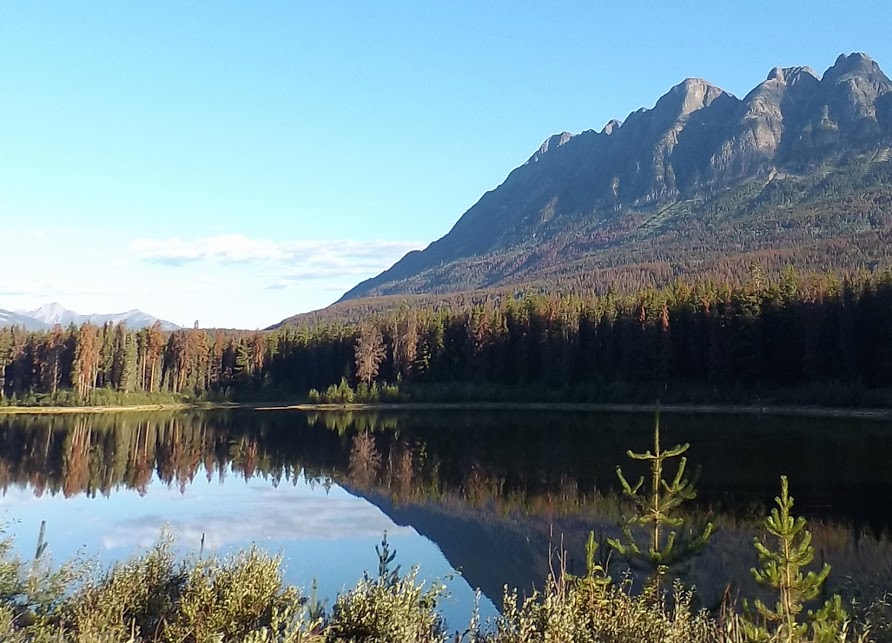
| Bow lake on the Icefields Parkway. |
Rides are unique experiences - my experiences on the back of the tandem will be different from everyone else's. Joth was riding the same bike at the same time, and while our experiences are similar, they are different. A faster rider trying to get around in 3 days and the slower rider surviving on very little sleep will have ridden the same roads, but their experiences may be vastly different to mine. I guess that’s one of the things that keeps us riding - seeing the glossimer spider thread floating in the breeze catching the early morning light, getting a honk and a wave from a train driver, seeing a Grizzly bear by the side of the road and spotting the cornice hanging off a glacier high on a mountain above you. New roads are great, but no two rides are ever the same.The RM1200 has been on the to-do list for a while - we first heard about it when in the UK when we read a ride report from Pat Hurt about his experiences in 2008?. In March we skied the Wapta traverse from Pepto lake on the Icefields Parkway to the great divide lodge on the Trans-Canadian Highway at Kicking Horse Pass. This route took us past the lodge and up the Icefields Parkway past Bow Summit and Peyto lake - something we were really looking forward to seeing in summer. It didn’t disappoint! We rode all of this event in daylight hours, lucky enough that we didn’t have to ride at night and could take in the mountain vistas. One of the riders we were chatting to at the finish had ridden as much as he could in the night when the temperatures were cooler. While he missed out on some of the views, he had seen the Milky Way clear in the star filled night sky with no light pollution to dampen it.
 |
| Things on a Thing descending in the afternoon sunlight |
There is no such thing as an easy 1200km ride, and with the mountainous terrain this route took us through it was always going to be tough. We got very lucky with the weather, the rain jackets were never needed and while a headwind slowed us down on day 2 it could have been much worse (when it was last run in 2012 they had strong headwinds and heavy rain for 24 of the first 26 hours). Much of this ride is on highways with heavy traffic which can be stressful, the road surface was generally pretty fast rolling. In another 4 years the Icefields Parkway may have been resurfaced and the snow heaves which bruised Joth’s forearms may be gone. The route may be changed again and the lovely out and back to Wells Grey Regional park removed, but I’m sure the spirit of the ride will be the same. More than 60 volunteers helped out with the ride - that’s more volunteers than riders. It takes an incredible amount of effort to put on an event like this, and as riders we were looked after incredibly well. I particularly enjoyed the shoulder rubs from Deidree at a couple of the controls. All but one control was manned and there was a great range of home cooked food. The menus were published in advance and it seemed like those with allergies and food restrictions were well catered for. Digestive issues are common on events like this, and when tired it is sometimes difficult to find something you *want* to eat. That wasn’t an issue for me on this ride. Having so many manned controls with facilities also give flexibility with regard to how far to ride each day. The drop bags are in specific locations, but knowing that you could press on to the next control and sleep there gave us the option of doing a fast ride. We did consider it, but we have remarkably few miles in the legs this year and just getting around and enjoying the ride won over that consideration - we are getting soft in our old age!
 |
| A welcome water stop before the final climb to Rogers Pass |
Ride Summary
Day 1 Kamloops to Golden 390km
Route description: Brief section of the Trans-Canadian Hwy #1 before heading off on country roads to the first control at Spallumcheen. More country roads on the way back to Hwy #1 then on to the next control at Revelstoke. More Hwy #1 and more climbing to Rodgers Pass and a very welcome control at the top. Lots of fast downhill on Hwy #1 to the sleep control at Golden. Some potholes and debris on the shoulder on the highway, but generally a good surface and fast rolling. Much of the traffic is big (trucks and large motorhomes and caravans), but drivers were generally very good at pulling out to give lots of space when passing.
Weather: Hot
Interesting animals: a disappointing 0
 |
| This train driver gave us a honk and opened his window to wave at us. |
Day 2 Golden to Jasper 317km
Route description: Climb along the valley to Field before the road steepens at Big Hill to Wapta Lake, once over Kicking Horse Pass the road descends to the control in Lake Louise. A turn around and head out taking a right turn onto the Icefields Parkway. Commercial traffic isn’t allowed on this road, but the number of tourist vehicles almost makes up for them. Road surface was good with the exception of the snow heaves which occur at intervals of about 4 metres in some cases. They were very annoying! A steep descent to Saskatchewan River Crossing for a top up of the water bottles and ice cream before tackling the headwind and climb to SunWapta pass followed by shortly by the very welcome control at Beauty Creek. It’s then pretty much all downhill to Jasper and sleep.Weather: Hot and windy. Interesting animals: 2 (1 Mountain Goat, 1 Grizzly Bear)
 |
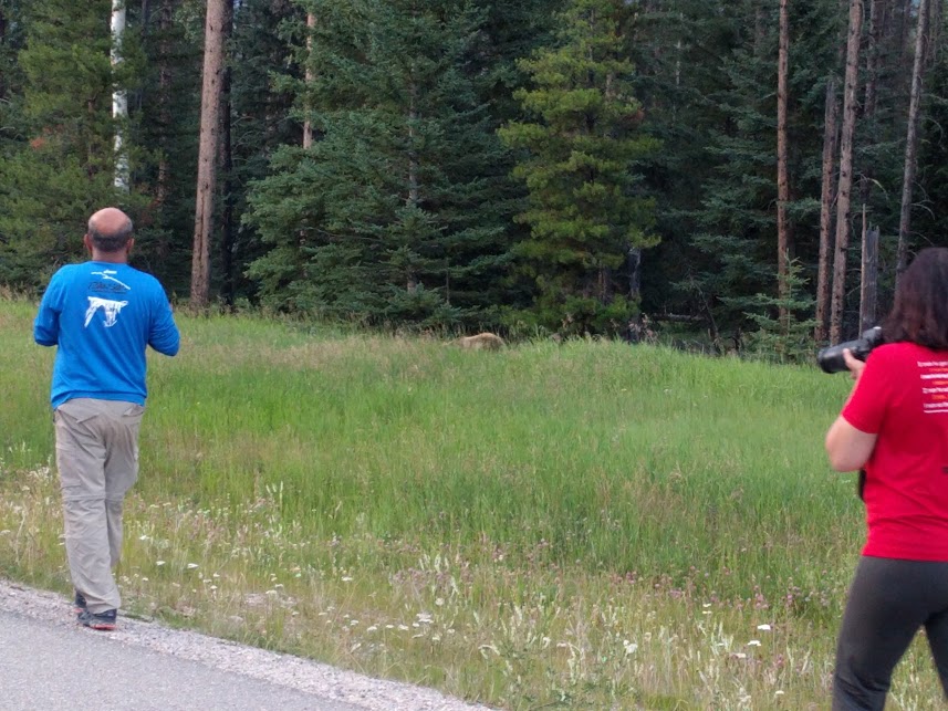
| It may not be a very good photo, but I promise you that is a grizzy bear. Even with the presence of a ranger with a shotgun I really wasn't feeling like hanging around looking like a tasty snack, even if they are pretty well fed at this time of year. |
Day 3 Jasper to Clearwater 326km
Route description: A gradual climb along Hwy #16 over Yellowhead pass and in the shadow of Yellowhead mountain before turning South on Hwy #5 and more down hill. We are now firmly in the land of glacial rivers famous for fishing. Welcome stops at the controls of Valemont and Blue River as the road continues gradually downwards to the sleep control of Clearwater. All highway but generally a good shoulder and considerate traffic.Weather: Pleasantly warm. The temperature would drop noticeably when crossing mountain streams, a thunder shower ahead of us at Blue Water dropped the temperature a few degrees for the small climb after the control.Interesting animals: 2 (1 Elk, 1 Black Bear)
 |
| Yellowhead mountain |
Day 4 Clearwater to Kamloops 274km
Route description: A 50km detour off Hwy #5 out and back along a quiet country road up to the control in Wells Grey Regional Park. Steep climb out of Clearwater then rolling terrain out the control. Reverse on the return where we managed to avoid the temptation of a second breakfast in Clearwater before heading down Hwy #5 to Kamloops. Stops in Little Fort and at a fruit stand (for ice cream and cherries), broke up the journey. The run into Kamloops is pretty flat and we were fortunate to mostly ride with a tailwind.Weather: Pleasantly warm but hotting up (we finished at 1pm)Interesting animals: 1 (Coyote - they are pretty common in California but this mountain based one was much prettier than our local ones)
Canada's a big country. You got to run out of interesting names at some point!
More photos can be found here
